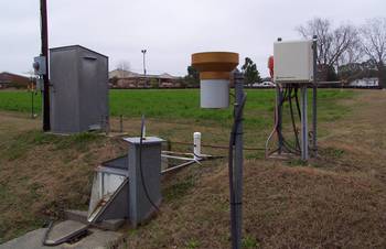
Station Z, RG 59
Tifton, GA
Tift County
Latitude: 31
o
28' 29.66"
Longitude: 83
o
31' 53.59"
Elevation: 335 feet
Period of Record:
1969 to present
Project Information
Google Map
Historical Data
Description
Contacts
Comments
Available Graphs
Precipitation
Surface Flow (stage)
Subsurface Flow (stage)
All Station Z Graphs
Station Z Table
Back
|
Home
|
Gibbs Farm
|
Little River Watershed
|
SCAN Site
|
Feedback
Last updated: June 5, 2008