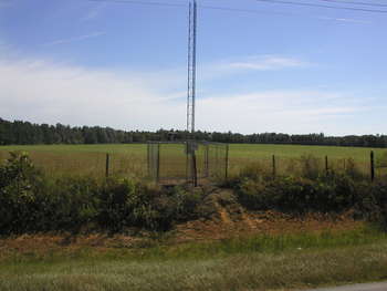
Rain Gage 67
near Shingler, GA
Worth County
Latitude: 31
o
34' 0.02"
Longitude: 83
o
42' 12.34"
Elevation: 402 feet
Period of Record:
06/2003 to present
Project Information
Historical Data
Description
Contacts
Comments
Available Graphs
Precipitation / Soil Moisture
Soil Conductivity / Salinity
Soil temperature
Back
|
Home
|
Gibbs Farm
|
Little River Watershed
|
SCAN Site
|
Feedback
Last updated: June 5, 2008