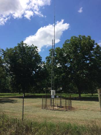
Rain Gage 37
near Ashburn, GA
Turner County
Latitude: 31
o
42' 33.44"
Longitude: 83
o
45' 14.42"
Elevation: 436 feet
Period of Record:
01/1968 to present
Project Information
Historical Data
Description
Contacts
Comments
Static Graphs
Precipitation and Soil Moisture/Temperature
Interactive Graphs
Precipitation / Soil Moisture
Soil Conductivity / Salinity
Soil temperature
Back
|
Home
|
Gibbs Farm
|
Little River Watershed
|
SCAN Site
|
Feedback
Last updated: June 5, 2008