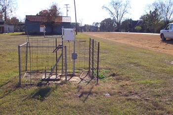
Rain Gage 28
near Ashburn, GA
Turner County
Latitude: 31
o
37' 47.08"
Longitude: 83
o
43' 5.51"
Elevation: 400 feet
Period of Record:
01/1968 to present
Project Information
Historical Data
Description
Contacts
Comments
Available Graphs
Precipitation
Back
|
Home
|
Gibbs Farm
|
Little River Watershed
|
SCAN Site
|
Feedback
Last updated: June 5, 2008