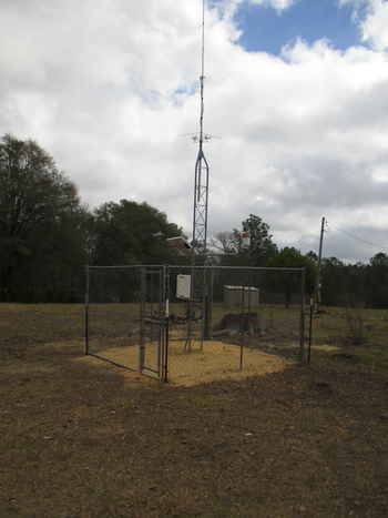
Rain Gage 8
near Tifton, GA
Tift County
Latitude: 31
o
29' 5.50"
Longitude: 83
o
34' 48.60"
Elevation: 296 feet
Period of Record:
01/1968 to present
Project Information
Historical Data
Description
Contacts
Comments
Available Graphs
Precipitation / Soil Moisture
Soil Conductivity / Salinity
Soil temperature
Back
|
Home
|
Gibbs Farm
|
Little River Watershed
|
SCAN Site
|
Feedback
Last updated: June 5, 2008